
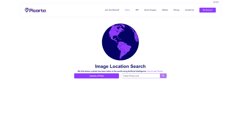
Picarta is an AI-powered photo geolocation tool that predicts where any image was taken by analyzing visual content — no EXIF metadata required.
What is Picarta?
Picarta is a web application that uses artificial intelligence to determine the geographic location of any photograph. Users upload an image or paste an image URL, and the AI returns the most likely GPS coordinates, city, and country. It runs on a web platform with an API and supports both ground-level and aerial imagery. Picarta is developed by Picarta.ai.
Key Features
- Image Upload & URL Support — Upload a photo from your device or provide a direct image link; the AI processes either input.
- Worldwide & Country-Specific Search — Choose to search the entire globe or restrict results to a single country for faster, more accurate predictions.
- Georeferencing vs Geolocalization — Picarta offers two modes: georeference for aerial/drone images and geolocalize for ground-level photos.
- Confidence Scores — Each prediction includes a confidence score so users can evaluate reliability.
- API & Python SDK — Integrate Picarta into custom workflows via its API or Python SDK for automated batch processing.
- Offline Deployment — Picarta can be deployed offline for organizations with sensitive data or limited internet access.
- Free Tier — A free tier is available with basic results; upgrading unlocks full details such as exact coordinates, timestamp, and camera info.
Who is it for?
Picarta is built for OSINT investigators, journalists, law enforcement officers, photographers, researchers, and travelers who need to verify or discover where an image was captured.
What can you do with Picarta?
- OSINT Investigators: Trace the origin of social media photos to corroborate events or identify locations.
- Journalists: Fact-check images from news sources or user submissions by confirming their geographic origin.
- Law Enforcement: Support investigations by identifying locations in evidence photos or surveillance images.
- Travelers & Photographers: Discover the exact spot where a picture was taken for trip planning or portfolio organization.
How does Picarta work?
Upload a photo or paste an image link. Picarta's AI analyzes visual clues — architecture, vegetation, signage, landscape — and compares them against its global geographic model. It returns a ranked list of predicted GPS coordinates with confidence scores, even when no EXIF data is present.
Pricing
Picarta operates on a freemium model. A free tier provides basic geolocation results. Paid plans unlock full details, including GPS coordinates, timestamp, camera details, and Google Maps integration. Upgrade options are available on the pricing page.
FAQ
Where was this photo taken?
Upload the image to Picarta; the AI returns the most likely GPS location, city, and country based on visual content. It works even if metadata is missing.
How does Picarta work?
Picarta uses AI to analyze visual features in the image (architecture, landscape, signage) and predicts the geographic location. It provides coordinates and confidence scores for each prediction.
Can AI find a photo's location without EXIF or GPS data?
Yes. Picarta does not rely on embedded metadata. It predicts location purely from the image's visual content, so it works on screenshots, edited photos, or images with removed location data.
How accurate is AI photo location?
Accuracy depends on how distinctive the geographical features are. Picarta provides confidence scores to help users assess reliability. Models are continuously improved.
Who uses Picarta?
OSINT investigators, journalists, law enforcement, photographers, researchers, and travelers — anyone needing to verify or discover an image's location.