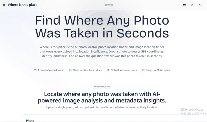
Where is this place is an AI-powered photo location finder that instantly identifies where any image was taken by analyzing visual clues, metadata, and landmarks. It turns any photo into a verified destination, providing GPS coordinates, addresses, and contextual evidence.
What is Where is this place?
Where is this place is a web-based AI photo locator that takes a photo as input (plus an optional location hint) and outputs ranked location predictions including GPS coordinates, nearby landmarks, and map previews. The platform runs in the browser and is developed by the team behind whereisthisplace.net.
Key Features
- AI Photo Locator Engine — Matches skylines, street signs, and textures against a global database to suggest likely locations.
- EXIF & Metadata Scan — Extracts hidden GPS data, timestamps, and device information from uploaded photos.
- Landmark Recognition — Identifies monuments, storefronts, and natural features with high accuracy.
- Interactive Map Review — Lets users investigate suggested coordinates with map previews, Street View, and satellite layers.
- Case Management — Organizes investigations by grouping related photos and keeping findings in one place.
- Collaboration Ready — Shares results securely with teammates, adds notes, and crowdsources local expertise.
- Privacy-First Workflow — Encrypts images, offers optional auto-delete, and does not store results unless the user chooses to share.
Who is it for?
Where is this place is built for travelers who want to identify locations from old or unknown photos, journalists and investigators verifying image sources, content creators needing location context for their media, and OSINT professionals conducting geolocation research.